I’m getting word that the ocean is already washing over Highway 12 north of Rodanthe. I fear Sandy is going to cause extensive flooding and damage on the Outer Banks. Monday’s full moon, the huge size, slow movement, and position of this storm and the warmth of the Gulf Stream are all aligning for maximum impact.
Check out this analysis by Brad Panovich:
[youtube]http://www.youtube.com/watch?v=Iz5rX3X-WFs&[/youtube]
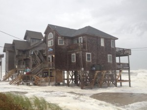
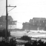
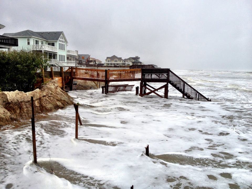
UPDATE 1: This picture was taken Saturday afternoon by Trip Forman of Real Kiteboarding in Rodanthe, NC: these houses are already in peril and there is overwash on highway 12, yet the eye of the storm is still several hundred miles to the south! This is gonna be bad.
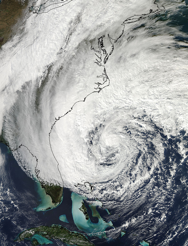
UPDATE 2: Sandy is one of the biggest tropical storms.
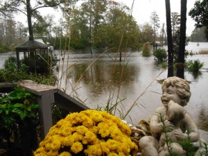
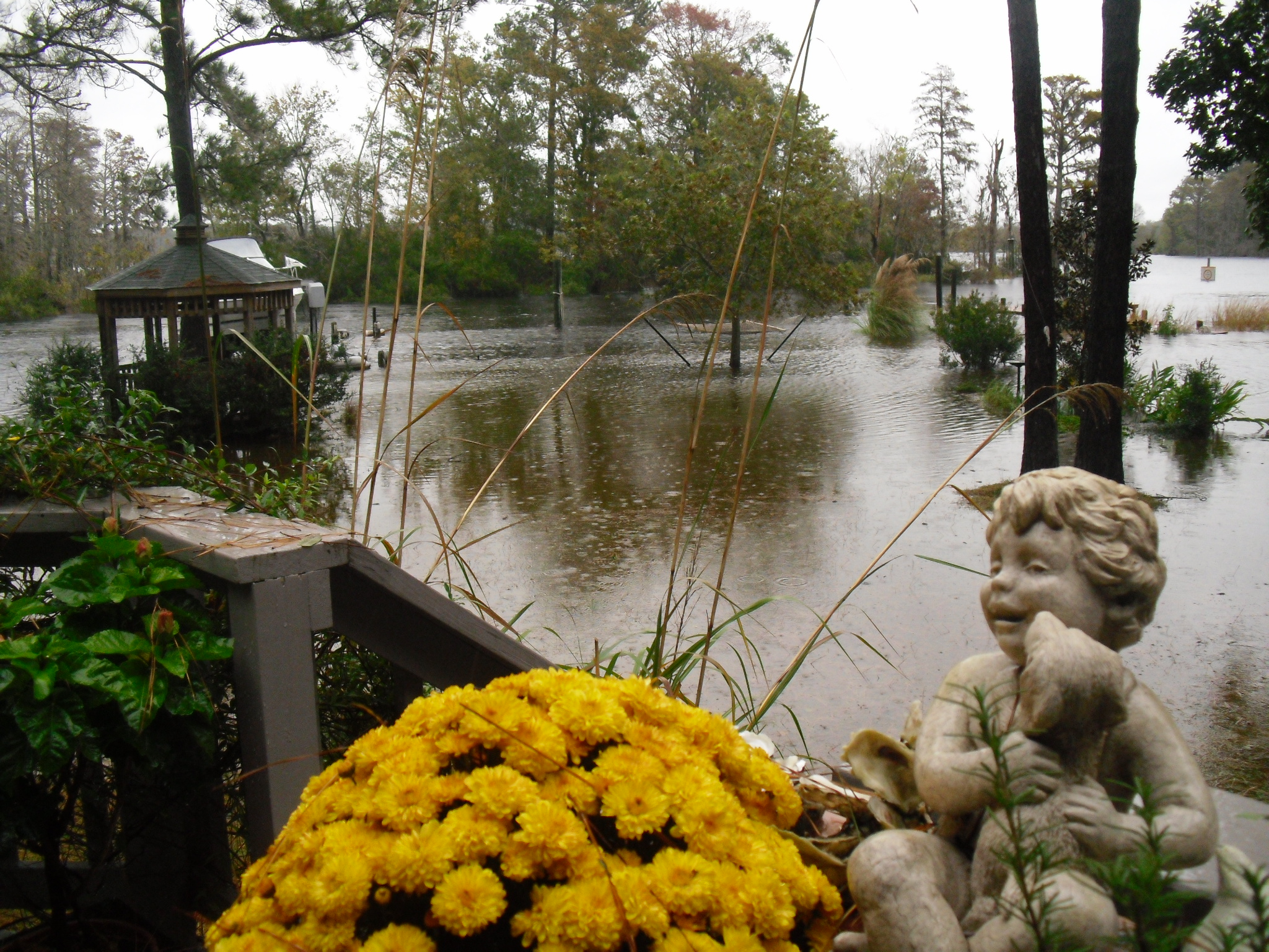
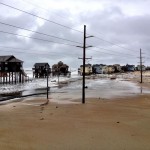
My parents backyard, New Bern NC, Sunday afternoon:
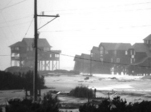
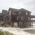
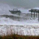
Houses on the northern tip of Rodanthe falling into the ocean, Sunday afternoon:
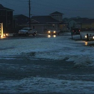
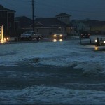
Buxton NC, taken Sunday evening:
6:45 a.m. update from Capital Weather Gang: Hurricane Sandy strengthened overnight, with maximum sustained winds now to 85 mph. It is positioned about 285 miles (just north of) east of Cape Hatteras and moving due north at 15 mph, but will soon start a turn west-northwest towards the coast. Its pressure is down to 946 mb, making it tied (with the 1938 Long Island hurricane) for the lowest pressure ever recorded north of Cape Hatteras.
When was the last time a hurricane strengthened after passing north of Cape Hatteras?!
Check out the wind flow here. It has gone NW, which will drive flooding from the sound this morning on the outer banks.
[youtube]http://www.youtube.com/watch?v=G9BgHm5KaeM&[/youtube]


Leave a Reply